
Professional Development to Improve the Spatial Thinking of Earth Science Teachers and Students
Supported by National Science Foundation GEO-1034994
Dr. Kim A. Kastens, Principal Investigator
Dr. Michael J. Passow, Co-Principal Investigator
Linda Pistolesi
The goal of this project is to create and test a professional development program for Earth Science teachers, targeted at improving the spatial thinking of Earth Science students. Research has shown that spatial thinking is important in science in general, and Earth Science in particular, and that performance on spatially-demanding tasks can be fostered through instruction. Teachers of the New York State Regents course in “Physical Setting/Earth Science” and others will serve as co-developers/participants in the pilot test of the program, which is offered in association with the well-established Earth2Class workshop series at Lamont-Doherty Earth Observatory.
Teachers are learning to diagnose students’ difficulties with spatial thinking and to support students in learning to think spatially. If this pilot project is successful, our long term vision is that school districts committed to data-driven professional development will be able to identify teachers whose students are struggling with spatially-demanding items on standardized tests such as the Earth Science Regents, and use our spatial thinking professional development techniques to help those teachers improve their practice. The work taps into basic and applied research on how humans perceive and reason with spatial information, and leverage these insights in serve of Earth Science education.
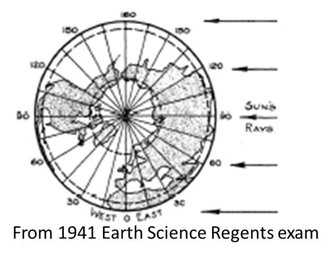
From the 1941 Regents Earth Science examination
Workshops
Introduction to Project
Slideshow to accompany Kastens, Pistolesi, Passow (2014) JGE article (summary of goals, methods, results, discussion)
September 2011 — Sequencing
Passow, M.J., and K.A. Kastens (2013) “Challenge: Sequencing—Using Spatial Relationships to Understand Temporal Patterns” The Earth Scientist, v. 29, no. 3, pp. 24 – 29.
Additional Resource: Earthlearningidea #238 “What questions about sequencing geological events might be asked at any rock exposure?
October 2011– Representational Correspondence, part 1
| Presentation: Representational Correspondence–Comparing and Combining Spatial Representations | What’s the Difference? |
| Figures for Student Activities about Similar/Different |


November 2011 –Representational Correspondence, part 2
| Presentation: Representational Correspondence II | Multiple views of the same object or area: Same vantage point |
| Multiple views of the same object or area: Different vantage point |

December 2011 — Perspective Taking, part 1
January 2012 — Perspective Taking, part 2
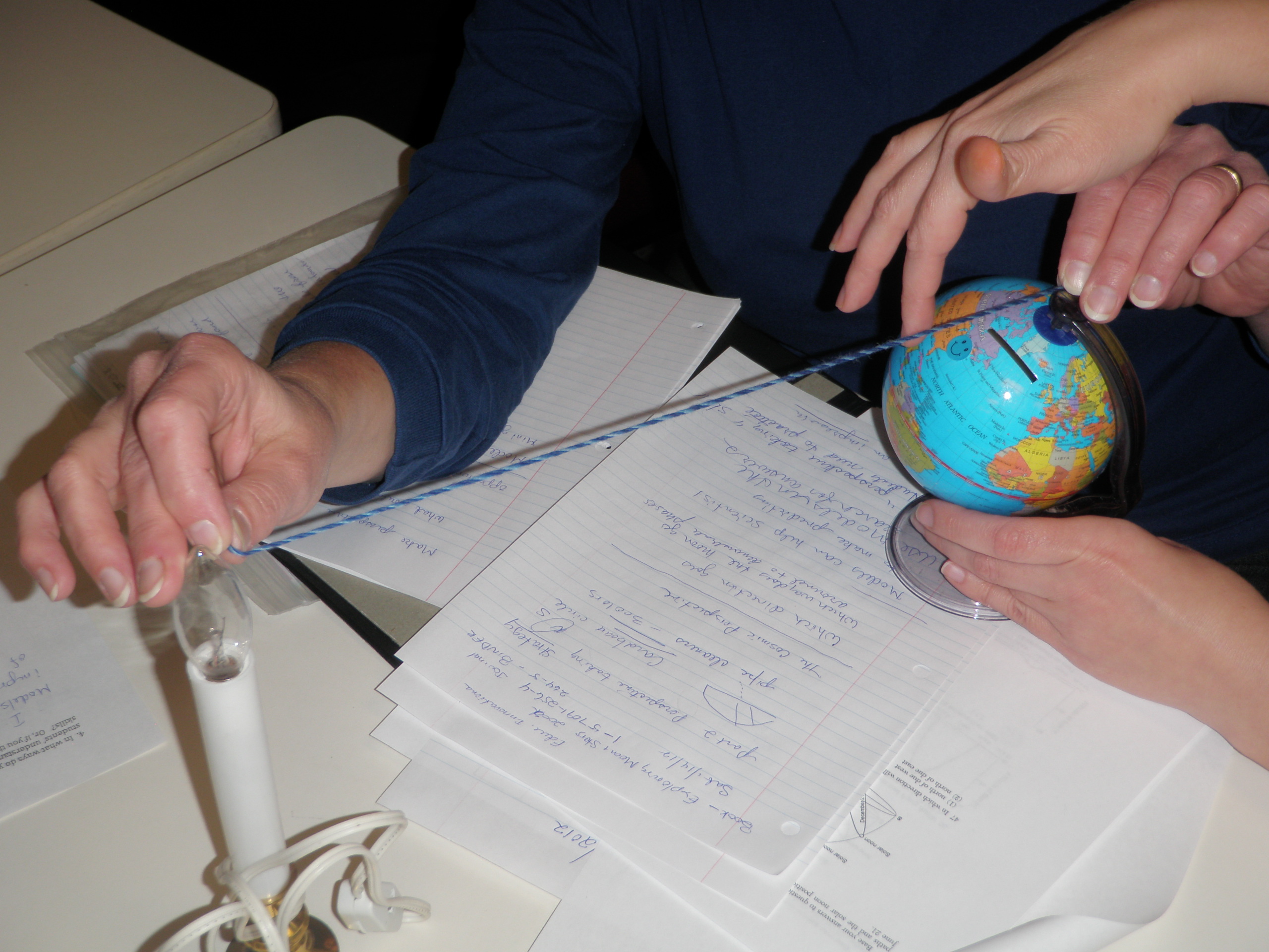
Presentation: Use of 3-D Models to Foster Perspective Taking, Answering Questions, Interpreting Data
Roessel, B., K. Kastens, and M.J. Passow (2013)” Challenge: Seeing Spatial Relationships in Three-Dimensional Physical Models” The Earth Scientist, v. 29, no. 1, pp. 17 – 20.
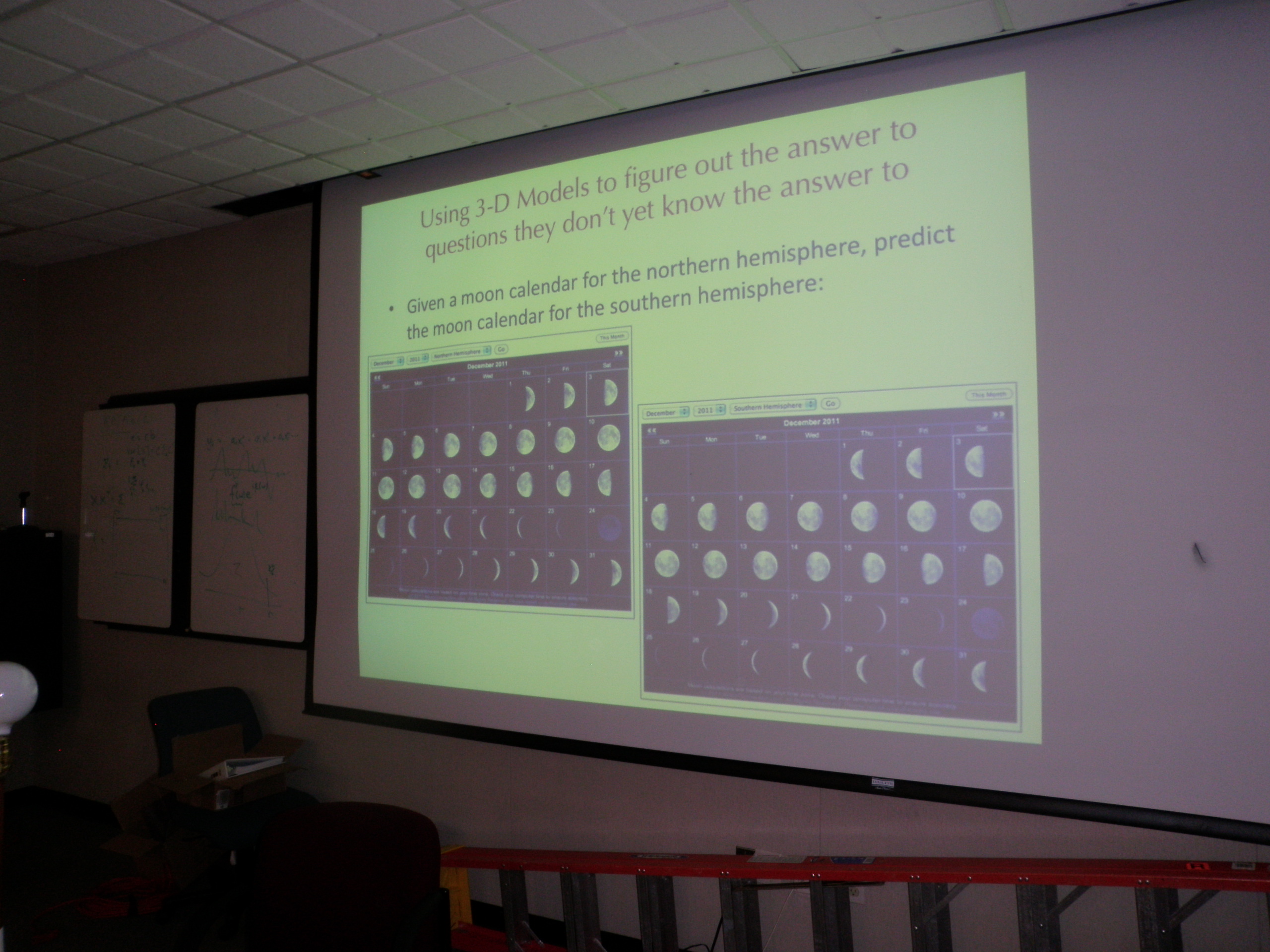


Moon Phases Calendar, from www.Moonconnection.com
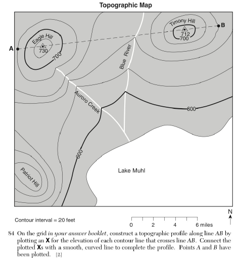
February 2012 — Topographic and Other Isoline Maps
Presentation: Topographic and Contour Maps

March 2012 — Finding Meaning in Clumps and Patterns
Presentation: Making Meaning from Map Patterns


“Pacific and Australia Maps” Activity
April 2012 — Making the Difficult Less Difficult
“Making the Difficult Less Difficult”
Papers, Talks, and Posters about this Project
Kastens, K., L. Pistolesi, M.J.Passow (2014) “Analysis of Spatial Concepts, Spatial Skills and Spatial Representations in New York State Regents Earth Science Examinations” J. Geosci. Ed., v. 62, pp. 278 – 289.
Passow, M.J., and K.A. Kastens (2013) “Challenge: Sequencing—Using Spatial Relationships to Understand Temporal Patterns” The Earth Scientist, v. 29, no. 3, pp. 24 – 29.
Roessel, B., K. Kastens, and M.J. Passow (2013)” Challenge: Seeing Spatial Relationships in Three-Dimensional Physical Models” The Earth Scientist, v. 29, no. 1, pp. 17 – 20.
Kastens, K., and M.J.Passow (2012) “Opening a Conversation about Spatial Thinking in Earth Science.” The Earth Scientist, v. 28, no. 4, pp. 37 – 40.
Kastens, Pistolesi, and Passow (2011) Spatial Thinking in the New York State High School Earth Science Exam. Geological Society of America Annual Meeting Paper 67-8, in T167. Time, Events, and Places: Understanding Temporal and Spatial Learning in Geoscience Education(National Association of Geoscience Teachers; Spatial Intelligence and Learning Center)
Conference presentations and publications
| STANYS 2014: | Participant Resources | Other Interesting Resources |
|---|---|---|
| “Spatial Thinking & NYS Regents Earth Science: Finding the Spatial” (slideshow) | Teacher Feedback Form (to describe activities with students) | Link to archived exams 1941 – date |
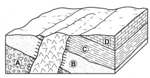
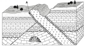
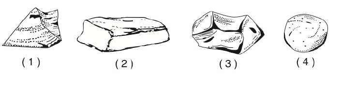
3 images from the 1941 Regents Earth Science Exam
Sample Activities to Learn about Spatial Thinking & Regents Earth Science
Learning to Think Spatially: GIS as Support System in the K – 12 Curriculum
Introducing Spatial Thinking Skills across the Curriculum (Association of American Geographers)
GeoSTART: Geospatial Thinking Activities and Resources for Teachers of Geography and Earth Science (Association of American Geographers)